Tweedsmuir Grizzly Density & Road Proximity
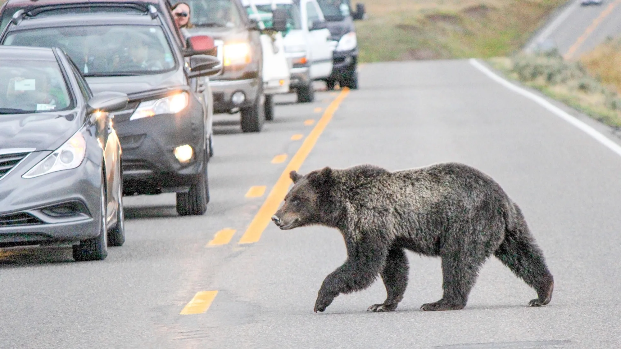
Evaluating grizzly population stability across 12 GBPUs against provincial road density thresholds and movement buffer overlaps.
Systematic fieldwork protocols, spatial modeling pipelines, and technical monitoring tools applied across wildlife conservation grids.
Spatial analysis examining large mammal movement, forestry cutblocks and compound risk corridors in Western Canada
Evaluating grizzly population stability across 12 GBPUs against provincial road density thresholds and movement buffer overlaps.
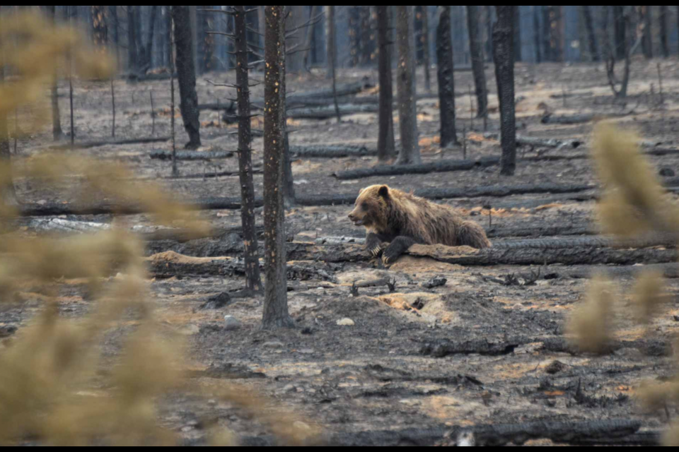
Spatial analysis evaluating how 1,230 fire incidents compress carnivore movement into road transport corridors.
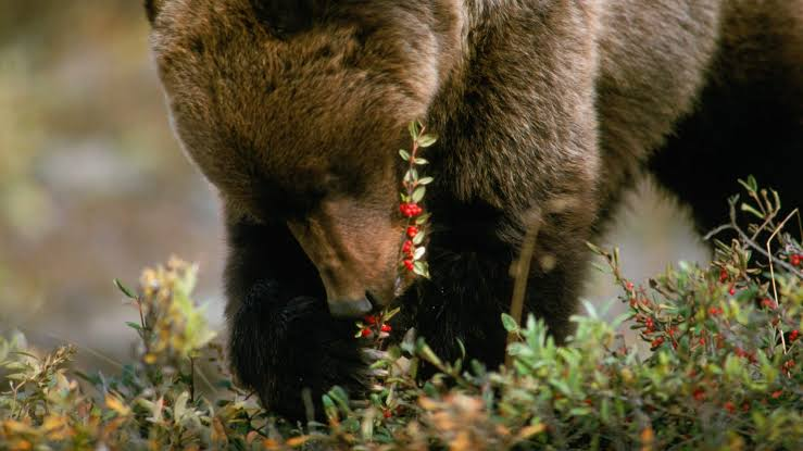
Multi-criteria evaluation prioritizing inactive forestry corridors on slopes over 15 degrees to restore secure feeding patches.
Integrating backcountry field monitoring with applied GIS analysis.
I am an early-career wildlife conservationist focusing on large mammal ecology, linear disturbance mitigation, and practical spatial data cleaning across Western Canada.
My work combines physically deploying and servicing remote camera arrays with spatial modeling in ArcGIS Pro and QGIS, converting provincial forest tenure and wildfire databases into actionable management plans.
The portfolio reflects a working scientist's record: documented steps from camera trap grids to spatial data cleaning to management decisions.
Deployed and maintained 30+ remote camera traps with Rewilding Apennines to monitor Marsican brown bear movement across fragmented mountain passes.
Assisted with camera-trap monitoring and survey grids in Mumbai, observing large cat spatial adaptation to high-density urban edges.
Modeled road deactivation, early-seral forestry clearings, and compound wildfire risks across British Columbia and Alberta datasets.